One of the themes I convey through my work is that environmental compliance isn’t only for tree huggers and protecting the environment. It’s about protecting yourself from hazardous exposures. First from direct exposure while working with and around hazardous materials. Second from exposures to contaminated air, water, and land. When the conversation turns to people’s own health and safety or the contamination of their favorite fishing hole, their interest picks up. Then they want to know, “How do I find out where all the contamination is located?” So, contamination, where are you?
You would be surprised and probably a bit scared by how much contamination we are surrounded. The park where you walk your dog. The river you cross every day. The nursery where you buy your flowers. The building down the street from where you work. Or even the land on which you’re building a house. They’re not all Superfund sites, but they’re out there.
Fortunately much of this information is provided to the public by the EPA and your state’s environmental agency. The EPA’s information is public record. You can check it out with the “Where You Live” link on the EPA homepage.
Here is a good list of links to being your search of any contaminated streams, air, or Superfund sites in your life.
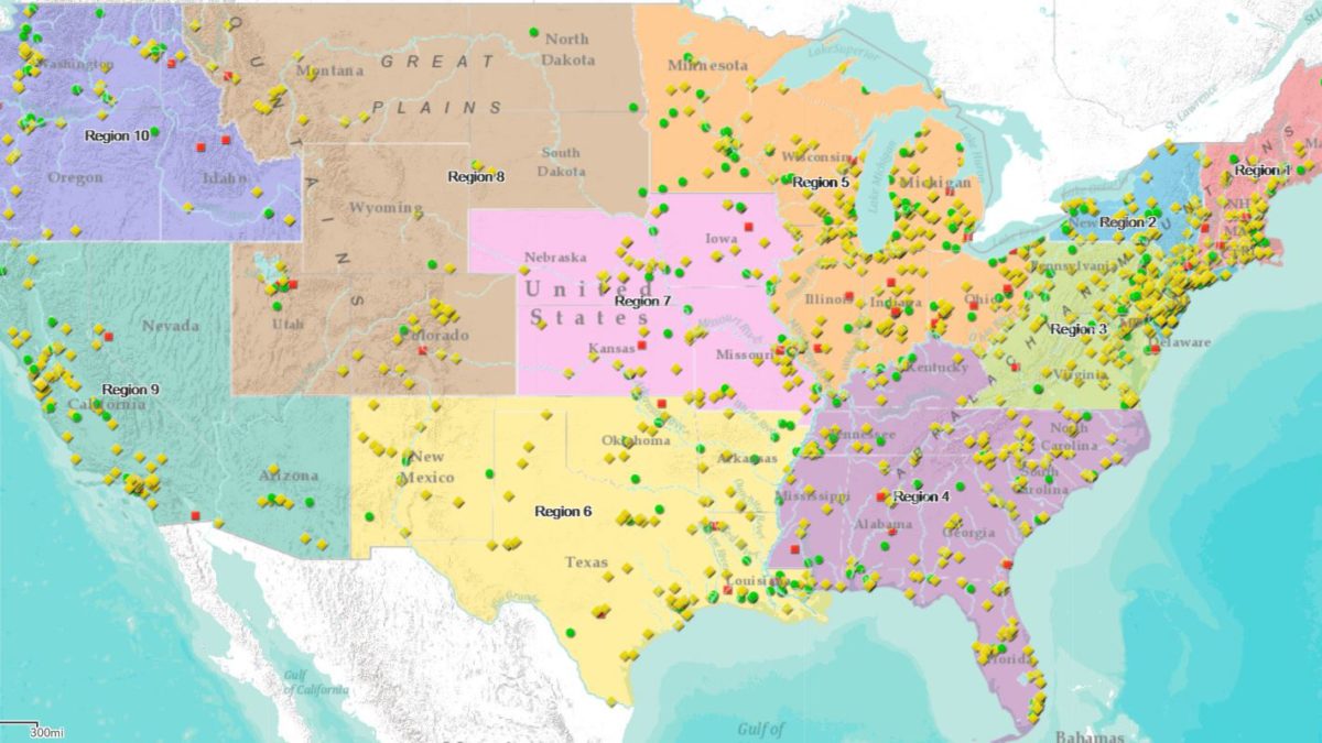
1. EPA’s National Priorities List map. This is a list of national priorities among the known contaminated sites. You probably know these by their more common name – Superfund sites.
2. EPA’s Enforcement Annual Results map. This isn’t necessarily all contaminated sites. This shows the location of all the concluded enforcement actions from the last fiscal year. Basically, where the EPA found something wrong and action was taken. You’d be surprised, like I was, to find a local business on this map.
3. How about that river, creek or lake where you fish or swim? The EPA has another good website, http://watersgeo.epa.
4. AirNow.gov and EPA’s AirNow mobile app will give you the current air quality at your location.
5. Consumption warnings (Don’t eat that fish.) can be found on your state’s environmental protection or fish and wildlife website. Some people are shocked to learn that their state recommends limiting how much fish or waterfowl to eat from specific waterways. They may recommend catch and release. These warnings and postings have been around for over a decade.
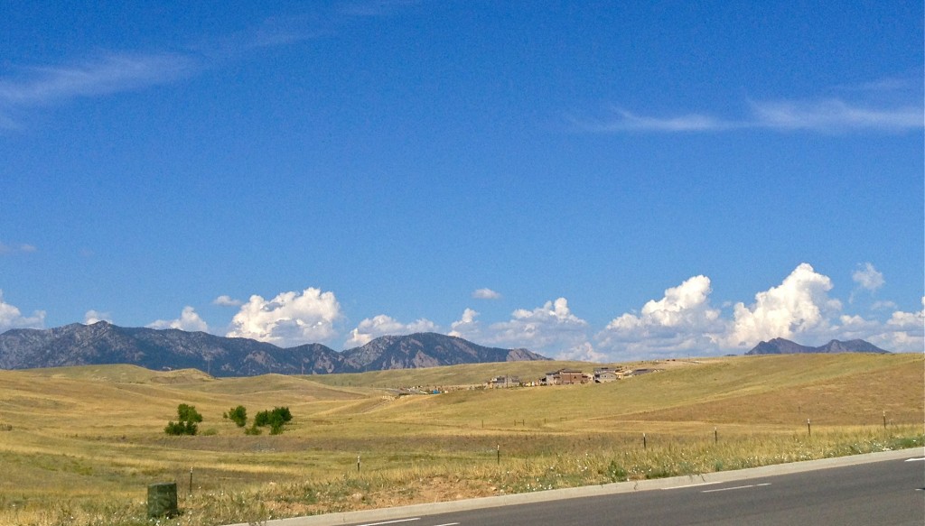
Here’s an example from my neck of the Colorado Front Range. There are high-end, sustainable homes being built in the far northwest Denver suburbs. It’s a beautiful location along the base of the mountains. Unfortunately, it’s near the site of the former Rocky Flats nuclear weapons production facility. That’s right, plutonium. Cleaning up plutonium is a lot different from cleaning up an oil spill or solvent contaminated soil. I tend to trust environmental scientists who claim the area is clean. But it’s a scary thought to be spending a lot of money and a portion of your life living near a former radioactive site.
Even more unusual is that the main development, Candelas, is a sustainable, green living development. What if you just bought a new, sustainably built house surrounded by beautiful Colorado open space, then learned a new highway is being built nearby (which is also happening). Then you learned that the area is near a nuclear weapons production facility. Time to reconsider that half a million dollars you’re about to spend.
My final disconcerting point, which can drive people wild, is that there is so much contamination out there that is either not known about or is known and is not being cleaned up. It’s not due to lack of a want to clean it. It’s due to limited money, time, and effort. It can be conflicting for many people. They want the contamination in their life cleaned up. But the EPA and/or state knows about the contamination and can’t clean it up because they don’t have the money. Emotion, science, and politics. It can be a “toxic” combination.


